📡 See what’s happening near you
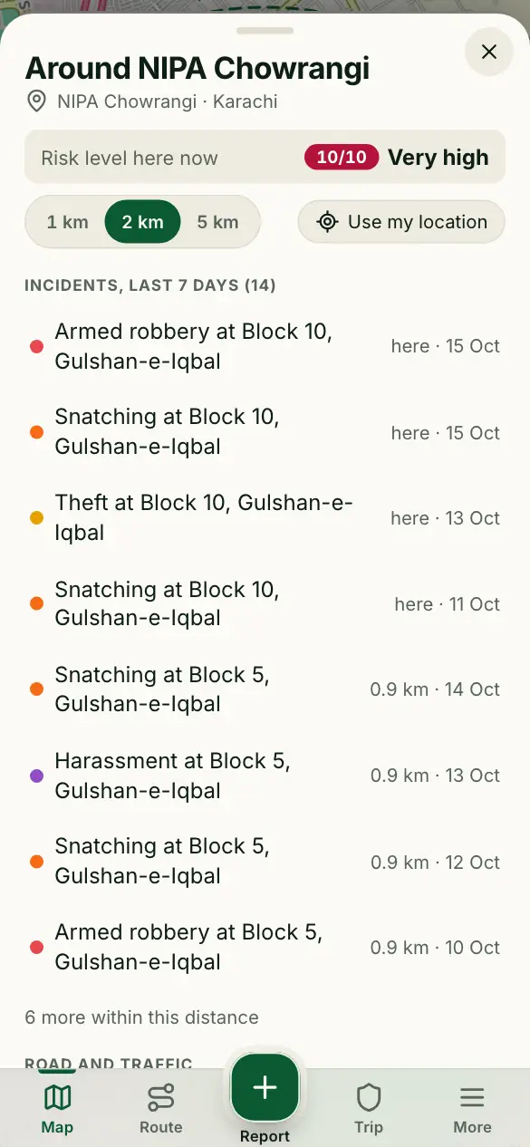
One list of what’s around you: incidents of the last 7 days, road alerts, and the nearest police and hospital.
How to use it
- Tap the round radar button on the map.
- If location is off, tap Use my location and allow it. Or tap Choose a place instead to look around home or work.
- Choose 1 km, 2 km or 5 km. Tap an incident or a road alert to see it on the map.
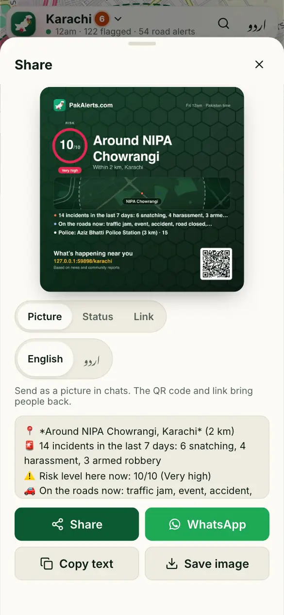
- Open Help nearby to call the police or an ambulance, or tap Share to send it to family.
Good to know
Do you keep my location?
No. Your phone sends a rounded position, we look up the area around it, and we don’t store it. A share names the area, never your exact spot.
It says location is blocked.
Your browser was told not to share it. Allow location for this site in the browser’s settings, then tap Try again. Or choose a place instead.
It says “No reports here yet”.
We have nothing reported around this spot yet. That doesn’t mean nothing happened. Try 5 km, and report what you see.
More guides
- 🗺️ Read the risk map
- 🔎 Find a place and check an area
- 🧭 My route: the best time to leave
- 📍 Share my trip
- 🆘 SOS, “Are you OK?” and the trip PIN
- 🔔 Watching someone’s trip: Alert me
- 📝 Report a crime or a road problem
- 🏫 Smog and fog closures
- 🚓 Find the nearest police station or hospital
- 📣 Notifications and summaries
- 🎬 Share a picture or a video
- 📲 Install the app and switch language
Figures come from verified sources, our team and community reports. No personal data is kept. How the risk level works